
GIS APPLICATIONS DEVELOPMENT CENTER (GADC)
Access GIS services, submit requests, and manage applications through the official GADC portals.
Access GIS services, submit requests, and manage applications through the official GADC portals.
Data acquisition using Drone Imagery and/or Aerial Photography
Consultation
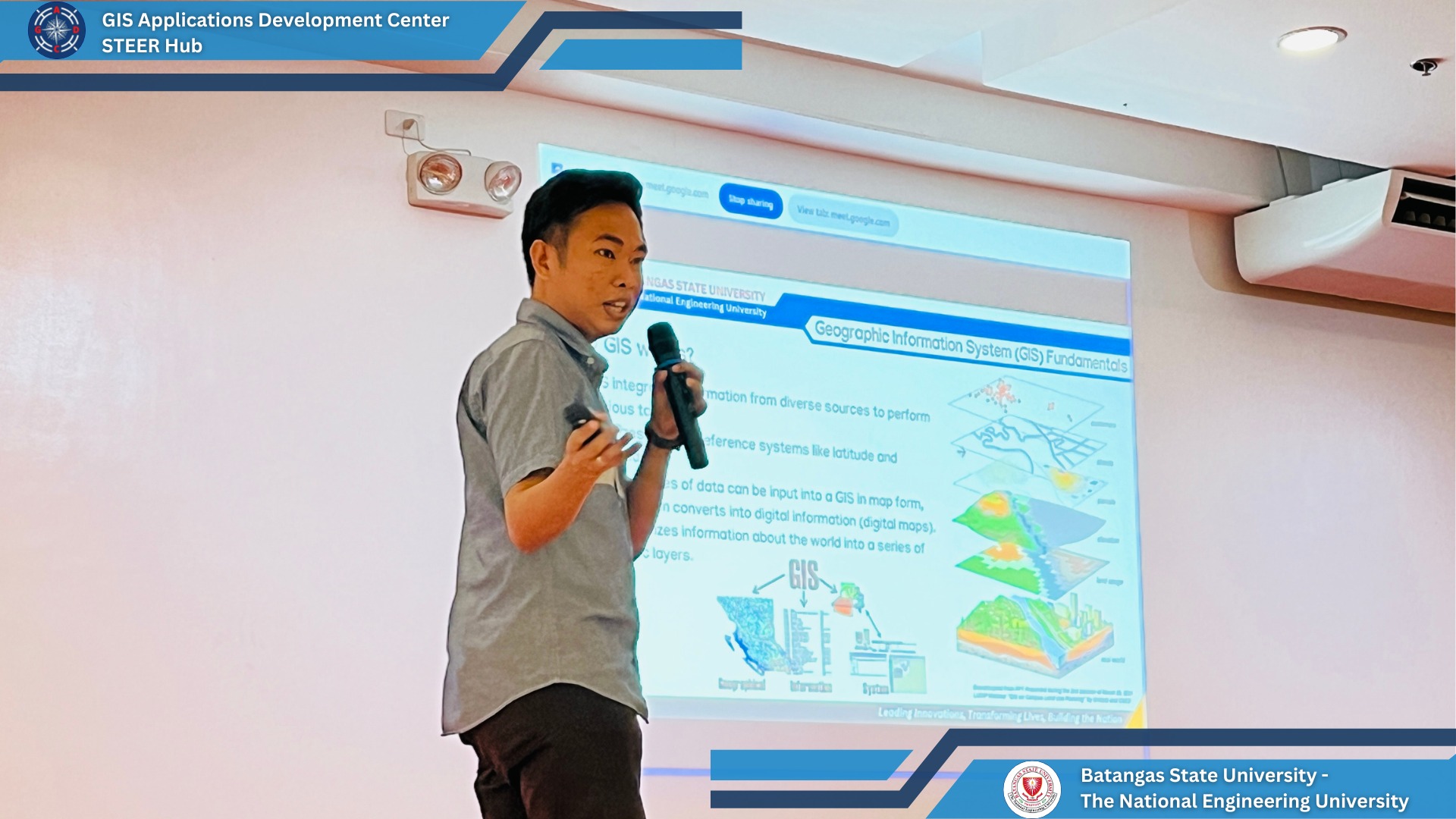
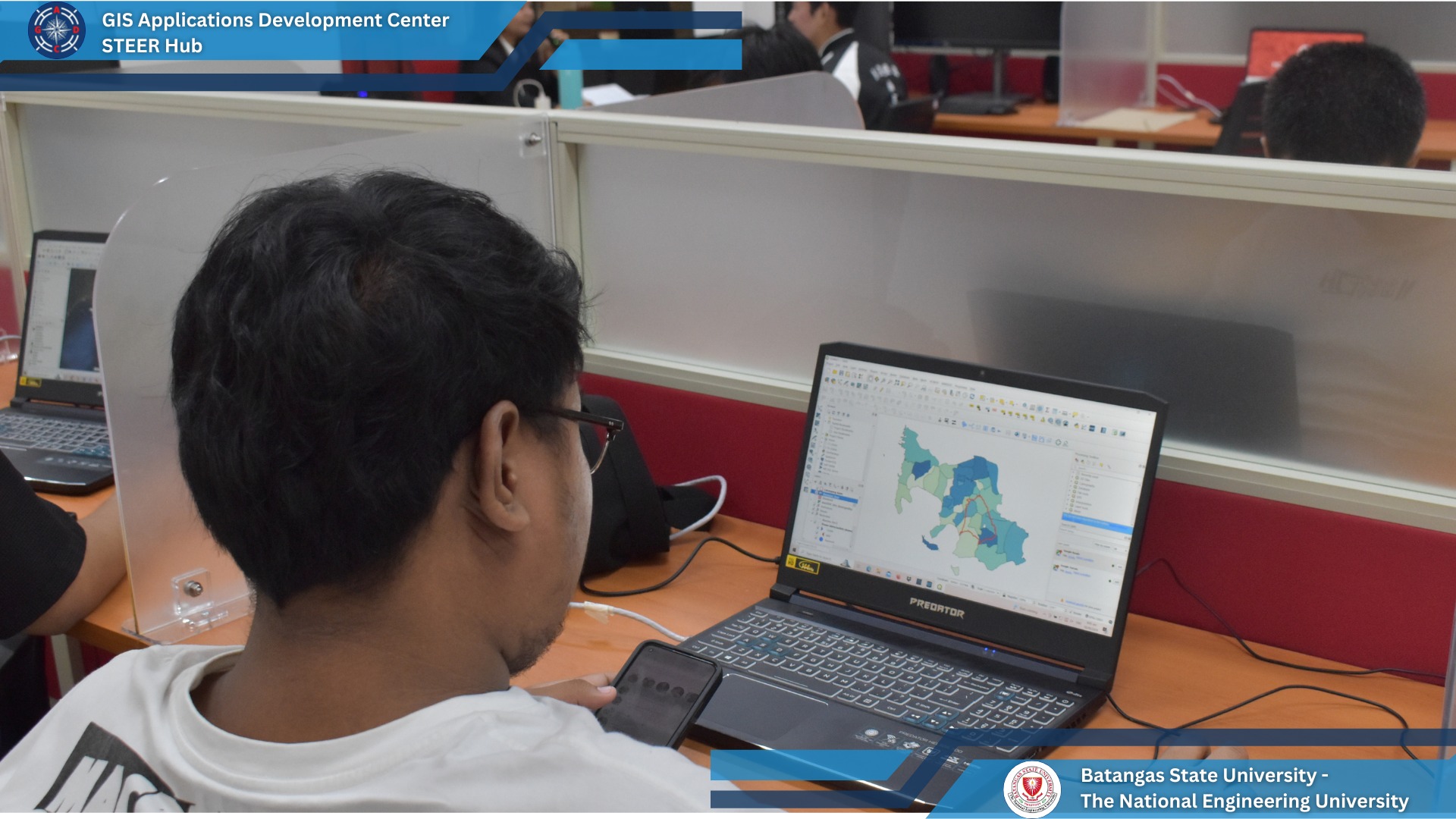
Data processing, map creation, map printing, providing maps and image interpretation using Online ArcGIS and QGIS
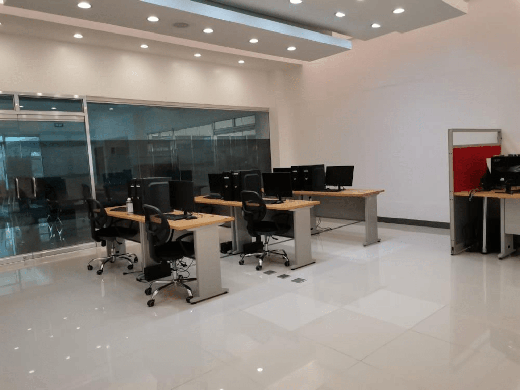
GADC aims to create interdisciplinary collaborations for GIS-technology solutions for research, education, and community. The center offers software and hardware for GIS-technology driven research and conducts training to researchers.
Analyze geographical data to inform decision-making processes.
Batangas State University funded research project under the BRIDGES Program.
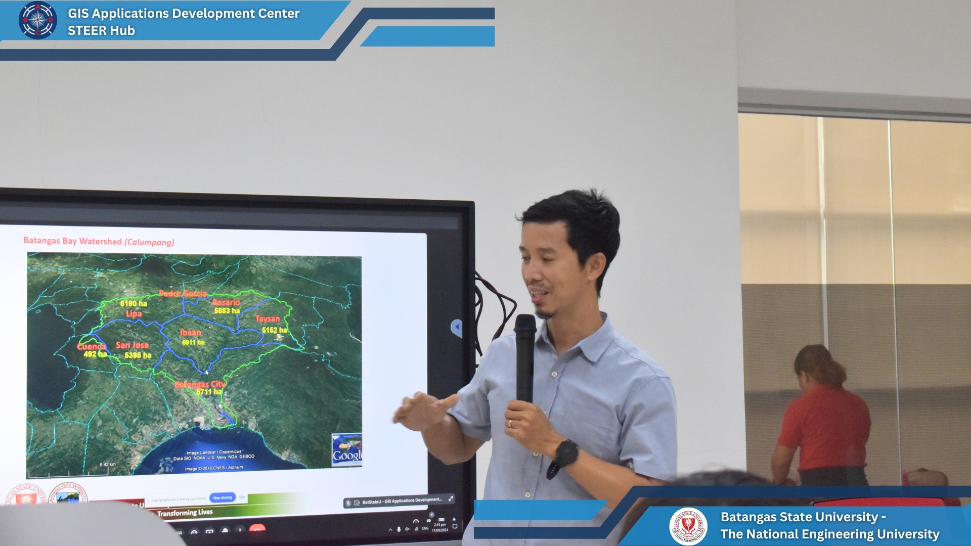
Collect spatial data for environmental analysis and resource management.
Submit service requests through the Requester Portal or manage requests through the Admin Portal.
Interested in GIS services and programs? Reach out today!

📞 Phone: (043) 425-0139 loc. 2409
✉️ Email: gis.center@g.batstate-u.edu.ph
📍 Address: 2F STEER Hub Bldg., Batangas State University -
TNEU Alangilan Campus, Batangas City, Batangas, Philippines 4200